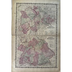
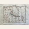
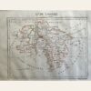
This is a map of Bavaria, Germany from 1837, created by Aristide Perrot. It was published in Paris and is part of the ‘Dictionnaire Universel de Geographie Moderne, Description Physique, Politique et Historique de Tours les Leux de la Terre…’ collection. The map features hand-colored copperplate engraved details. It measures 7 x 10 3/4”. The map is in excellent condition and its authenticity is guaranteed.
Sale!